


Trail in France
Trail above the glaciers - Target altitude: 3,747 metres
Technical lev. : 3 / 5
Technical lev. : 3 / 5
DIFFICULT MOUNTAIN HIKING
The hike has some vertiginous, physically demanding and technical sections, and the path is sometimes equipped with cables and ladders to enable progress. You must be proficient at trail walking and be able to walk independently in the mountains on easy sections. The guide will help you on the difficult sections.
Physical lev. : 4 / 5
Physical lev. : 4 / 5
FIT AND TRAINED
You are proficient in the sporting activity included in the trip you are purchasing! The effort required is equivalent to approximately 1,200-1,700 metres of elevation gain per day of hiking.
You enjoy and are proficient in endurance sports.
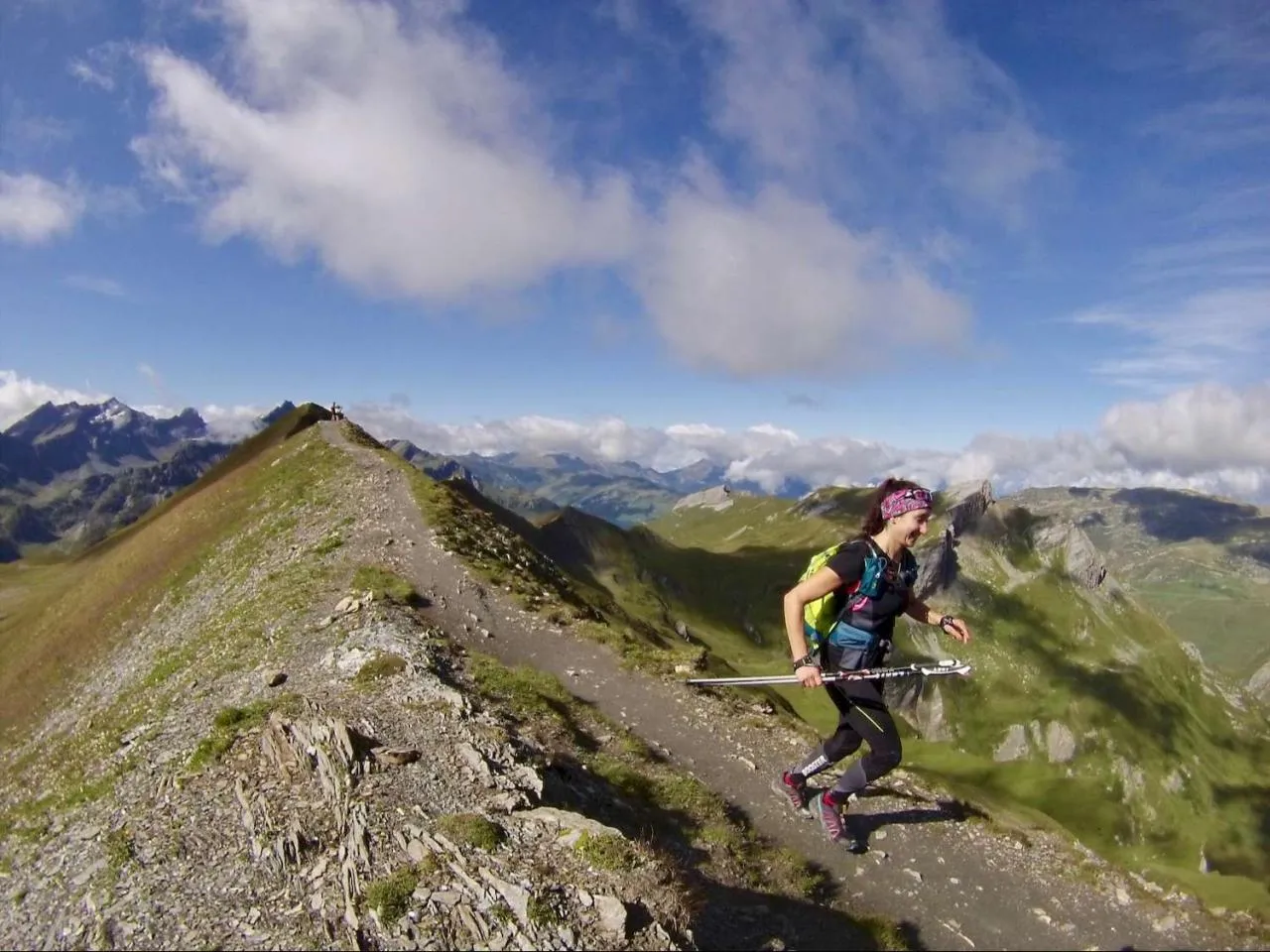
Set off on the highest trail in Savoie, France and even Europe! At 3,747 metres, La Grande Sassière is the highest peak in France and Europe accessible on foot. Close to Val d'Isère, this two-day course will take you to admire the Haute Tarentaise glaciers of the Vanoise, in a spectacular, rugged landscape.
From 330
Highlights
. 2 days of trail running at over 3,000 metres.
. The Aiguille de la Grande Sassière, the highest peak in the Alps accessible on foot.
. Stunning panoramic views from Mont Rose to the Vanoise and its glaciers.
. Supervision by a qualified guide who is an expert in trail running techniques


Dates & Prices
 Discount if booked 4 months before departure
Arrival
End
Price *
Status
Du 08/08/2026 au 09/08/2026
au 09/08/2026
300€
Bookings in progress
Du 22/08/2026 au 23/08/2026
au 23/08/2026
300€
Confirmed in 3 signup/s
Du 05/09/2026 au 06/09/2026
au 06/09/2026
300€
Bookings in progress
Du 12/09/2026 au 13/09/2026
au 13/09/2026
300€
Confirmed in 3 signup/s
* Price per person (without insurance)
Trip
High-altitude trail running at the gateway to the Vanoise National Park
Set off on the highest trail in Savoie, France and even Europe! La Grande Sassière, at an altitude of 3,747 metres, is the highest peak in France and Europe accessible on foot. Located near Val d'Isère, this two-day trail running course in the Alps will allow you to admire the glaciers of Haute Tarentaise and Vanoise in a majestic, rocky setting.
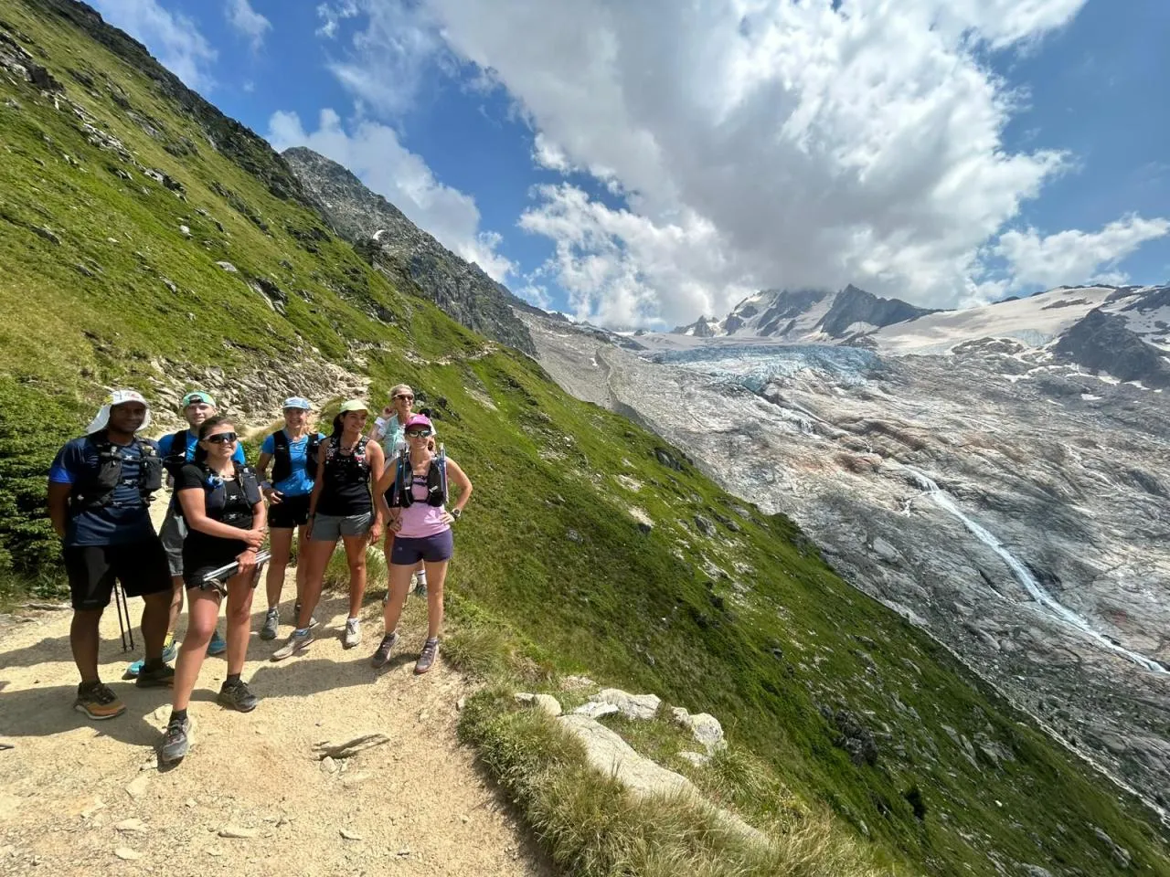
On the first day, you will reach an altitude of 3,000 metres on the French-Italian border, before spending a restful night in a welcoming mountain refuge. The second day will be devoted to climbing the Grande Sassière via its classic route. A two-day trail running course for an unforgettable visual experience!
If you are looking for a slightly longer trail running course, our trail running course around Mont Blanc between France and Italy, the one in Chamonix or at Mont Rose are also available, in equally spectacular surroundings.
Program
Trail running course programme at La Grande Sassière
DAY 1
VAL D'ISERE - GRAND COCOR - REFUGE
Running time and breaks: Approximately 3 hours of running and technique
Elevation gain and distance: +1,000 m and -800 m; approximately 11 km
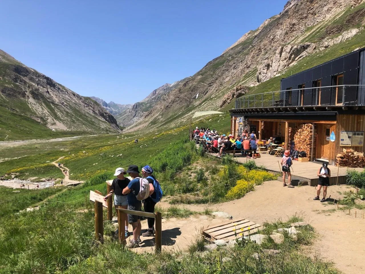
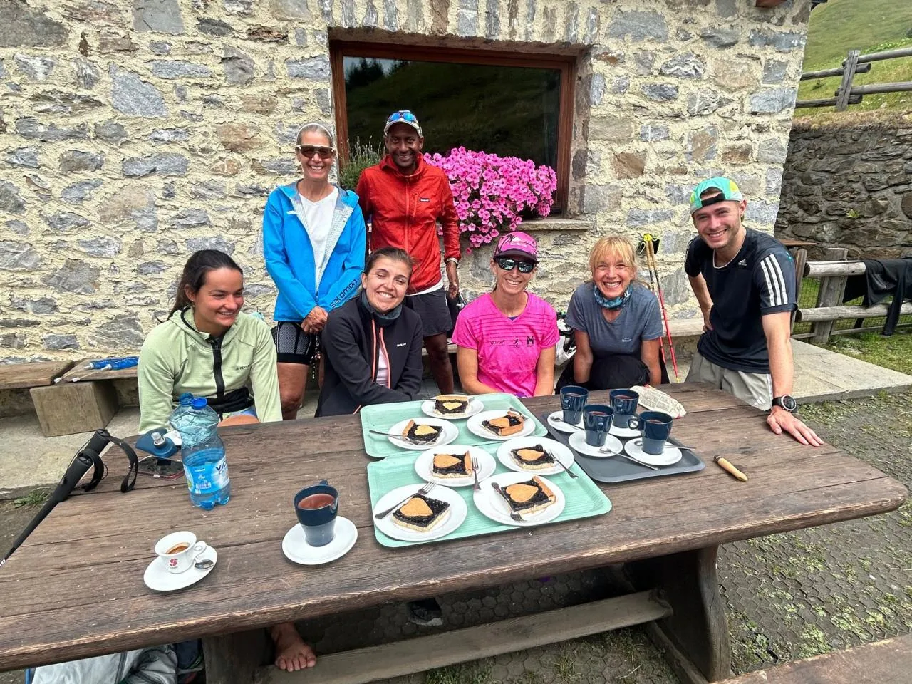
We meet at the Pont Saint Charles bridge after leaving Val d'Isère, then climb towards the Grand Cocor, just above 3000m, a first summit offering superb views of the Italian lakes, after skirting the Malpasset gorges and passing the refuge at 2300m, where you can leave your belongings. Return to the refuge via a loop, where a good meal in a warm atmosphere awaits you.
DAY 2
BARRAGE DU SAUT - AIGUILLE DE LA GRANDE SASSIERE
Running time and breaks: approximately 5 to 7 hours with breaks and technical points
Elevation and kilometres: + 1,500 and – 1,800 m; approximately 15 km
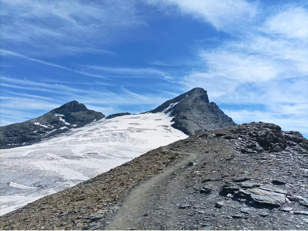
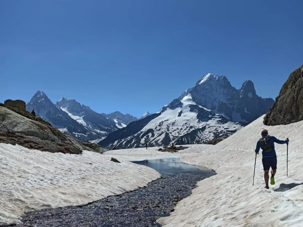
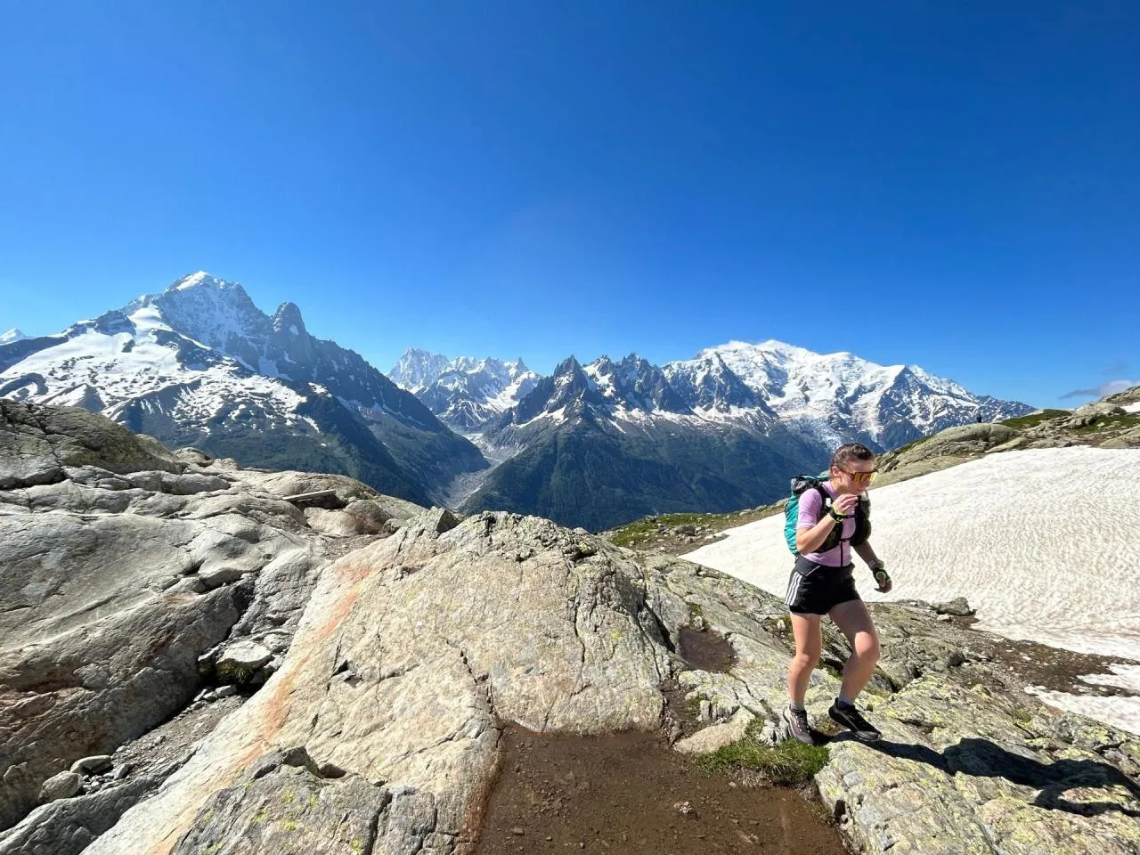
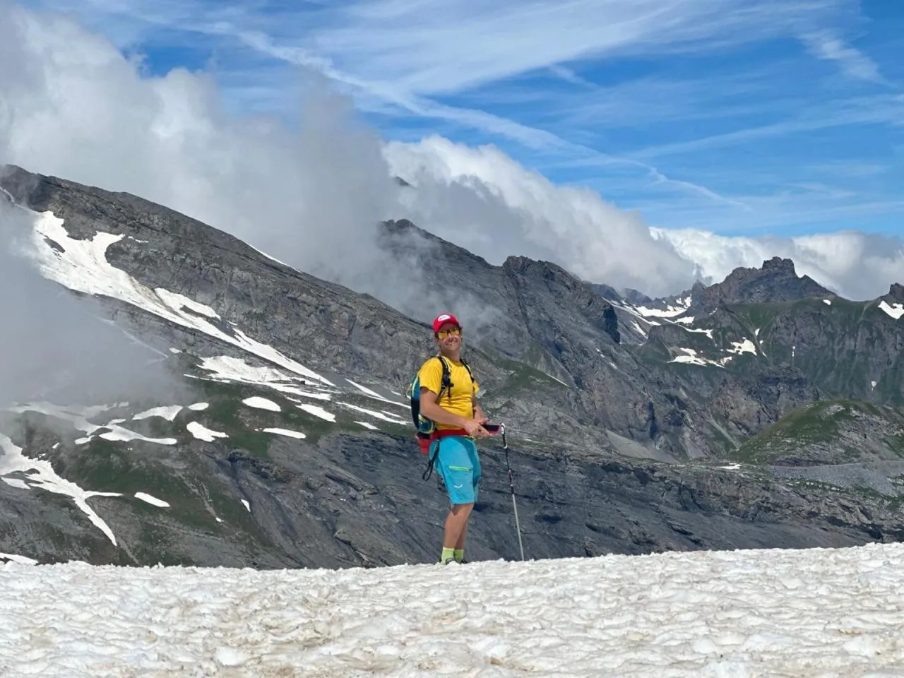
We leave the refuge in the morning to meet the minibus and head to the Sault dam, the starting point of the Grande Sassière trail. We then begin a long and beautiful climb of nearly 1,500 metres along the classic route to reach the Aiguille de la Grande Sassière, at an altitude of 3,747 metres. The high-altitude mountain environment will make you forget (a little) the effort and unusual altitude of this summit, which is accessible on foot. At the summit, the Aosta Valley from Mont Blanc to the Grand Paradis stretches out before you on one side, and the peaks of the Vanoise National Park on the other, along with their many glaciers!
In case of bad weather or difficult conditions, we will go to the Rocher de la Davie, which is 3,157 metres high, as an alternative...
Materiel
Equipment for the 2 days of trail running in Val d'Isère and the Aiguille de la Grande Sassière
The high altitude and technical nature of the terrain require appropriate equipment, more so than for a more ‘traditional’ trail running course in the mid-mountains.
Trail running bag for the day:
Bring a 15-20 litre trail bag for the day with enough space to carry a picnic and snacks.
- Warm clothing for the upper body (down jacket or fleece)
- Warm tights for the legs
- Small gloves, a buff and/or a headband
- A Gore-Tex jacket or equivalent, light or heavier depending on what you have A water bottle belt and a water pouch or bottle, 1.5 litres of water to last between two water points
- Waterproof and breathable overtrousers
- A cap
- A pair of crampons of this type in case of snow
- Sunscreen with SPF 30
- Sunglasses with SPF 3
- a pair of aluminium trail walking poles, which are cheaper and more robust
- a small first aid kit with any medication you may need
- a survival blanket
- your mobile phone and ID
- cash for a beer at the end of the day or small purchases...
Essentials and items to pack in your rucksack and leave at the refuge:
- toiletries for the trip.Sunscreen with SPF 30 to 50
- A pair of category 3 sunglasses
- Your ID
- Cash for personal expenses at refuges/bars...
- Warm clothes for the evening (the refuge is at 2,300 metres)
- A change of clothes
Your guide will have a more comprehensive first aid kit in case of a more serious accident.
Level
Technical level 3/5
DIFFICULT MOUNTAIN HIKING
The hike has some vertiginous, physically demanding and technical sections, and the path is sometimes equipped with cables and ladders to enable progress. You must be proficient at trail walking and be able to walk independently in the mountains on easy sections. The guide will help you on the difficult sections.
Physical level 4/5
FIT AND TRAINED
You are proficient in the sporting activity included in the trip you are purchasing! The effort required is equivalent to approximately 1,200-1,700 metres of elevation gain per day of hiking.
You enjoy and are proficient in endurance sports.
Useful info
Useful travel information:
How to get to Val d'Isère:
- By train to Bourg Saint Maurice station, then by shuttle bus to Val d'Isère
- By car, to Pont Saint Charles
Arrival
Meet your trail guide at 8am on the first day in the car park at Pont Saint Charles.
Supervision
Our trail running course is supervised by a qualified mountain guide from our team, who will provide you with the technical skills you need to make the most of your trip and improve your trail running. The guide may modify the programme to ensure the safety of the group depending on weather conditions, mountain conditions or the physical condition of participants.
Car parking
In Val d'Isère, all public car parks are free, for example the Daille car park: see the location on the map.
Group dispersal:
The end of the trip is scheduled for Sunday afternoon in Val d'Isère. We can all enjoy a drink together to round off this weekend in the mountains.
Accommodation
Half board in a mountain refuge. You must bring a sleeping bag for the night. The price of a hot shower is £4 per person. Please bring cash for drinks, as the refuge does not accept credit cards.
Insurance
Cancellation and repatriation insurance is compulsory, as well as insurance covering mountain search and rescue (minimum cover of €10,000).
Esprit Montagne offers the following insurance: https://www.assurance-multi-sports.com. You must take out the ‘impact evasion multirisque’ insurance. Other insurance policies may not provide the same level of cover, so please read your insurance policy carefully.
Car sharing
When you register online, you can choose whether or not you wish to participate in carpooling to get to the departure point for your course. After making your booking, when you log back into your Esprit Montagne personal account, you will find a section dedicated to carpooling. There you will find the contact details of other participants in your course who are interested in carpooling, allowing you to get in touch with them directly.
Budget for your Trail Running Course
THE PRICE INCLUDES
. Supervision by a state-certified mountain guide from our team
. Half board in a mountain refuge.
. Picnic lunch on day 2.
. Compulsory transport included in the programme.
. Theoretical input on mountain running with an explanation of EAD (Dynamic Joint Stacking) techniques - your guides have been trained by Fred Brigaud, osteopath and trail running specialist
THE PRICE DOES NOT INCLUDE
. Cancellation/interruption of stay/loss of luggage insurance and emergency assistance.
. Drinks and personal expenses.
. Tips.
. Anything not mentioned in the ‘Price includes’ section
You will also love

4 days & 3 nights
580

4 days & 4 nights
640
4 days & 3 nights
630

5 days & 4 nights
730
What is the highest hike in France?
The Aiguille de la Grande Sassière surpasses the Swiss Barrhorn (3,610 metres) and its altitude of 3,747 metres makes it the highest hike in Europe. This climb is best done in optimal conditions between mid-August and early September, when summer temperatures have allowed the snow to melt completely.
Hikers are rewarded with an exceptional 360° panorama at the summit: from Mont Blanc to Gran Paradiso, via the Matterhorn and Monte Rosa. The national nature reserve surrounding the site is home to remarkable alpine wildlife, including ibex and golden eagles.
Winds can be strong above 3,000 metres, so it is essential to monitor the weather carefully before setting out on this legendary hike.
Is the needle of the Grande Sassière accessible via the normal route?
The normal route remains accessible without technical equipment for a short period at the end of summer, when the snowfields have melted on the summit section between 3,500 and 3,747 metres.
The ideal time is generally between mid-August and early September. During this window, experienced hikers can reach the summit without crampons or ice axes, taking the south-west ridge which avoids the Sassière glacier.
Conditions change quickly depending on the season. A tricky section on the rocky ridge at 3,250 metres requires particular attention. The condition of the terrain determines whether it is feasible: progress becomes dangerous on frozen or snow-covered ground.
Where can I go hiking on the Aiguille de la Grande Sassière?
If you want to hike the Aiguille de la Grande Sassière on your own, it is possible, but be careful as this is still high mountain terrain and very technical. The starting point is at the Saut car park (2,300 metres), accessible from Villaret du Nial via a 5.5-kilometre paved road, a few kilometres from the junction between Tignes and Val d'Isère. The trail starts on the right-hand side of the car park and climbs gradually through the mountain pastures of the Grande Sassière nature reserve.
The route crosses the Grande Combe before reaching a first plateau at around 3,100 metres, an ideal spot for a panoramic break. The final climb follows a series of steep switchbacks to the summit, offering spectacular views of the Lac de la Sassière.
The total route is 11 km there and back with a 1,450-metre elevation gain. Allow between 6 and 8 hours of walking depending on your pace. An IGN Top 25 3633ET map is essential for this adventure.


